
Amidst climate change, resource scarcity, and social inequality, the “Productive City” emerges as a transformative concept for making cities more sustainable, resilient, and liveable. By seamlessly integrating living, working, and leisure spaces, this model can strengthen local economies, create jobs, and foster vibrant, inclusive communities. In 2023, CIPU focused on exploring and advancing this vision for Luxembourg, promoting and raising awareness about innovative solutions to embed productive functions within urban areas.
The Productive City
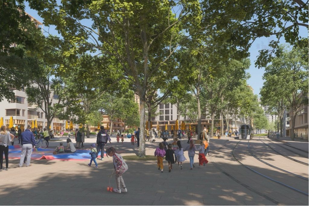
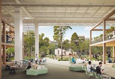
The Productive City concept addresses urban challenges by combining residential, commercial, and industrial functions in compact urban spaces, tackling issues such as long commutes, pollution and economic vulnerability. The proximity of workplaces to residential areas has the dual benefit of reducing traffic and emissions while simultaneously creating local jobs and supporting economic resilience. This model also promotes efficient land use, diverse housing, and employment opportunities, which in turn foster inclusive communities and improve quality of life. Furthermore, the concept has the potential to relieve the tense Luxembourgish housing market while simultaneously revitalising neighbourhoods through diverse uses.
A productive 2023
Throughout 2023, CIPU organised several events centred around the multifunctional and productive City. These events provided platforms for in-depth discussions, practical insights, and collaborative efforts to advance the productive city concept. These key results are described in a summarising statement by CIPU which you can access here.
Workshops
On June 27, 2023, the first CIPU workshop of the year was held at the 1535° Creative Hub in Differdange, focusing on functional mix in new and existing developments. The goal of the workshop was to explore strategies for integrating diverse functions within urban spaces to promote sustainable and vibrant communities. Key discussion points included the challenges of zoning regulations, the importance of engaging local communities, and innovative design solutions for mixed-use developments. Conclusions highlighted the need for flexible policies to facilitate functional integration, the benefits of community involvement in planning processes, and the potential for creative architectural solutions to address urban development challenges.

The second workshop, held in October, built on the results of the first and focused on integrating productive functions in urban areas, exploring strategies to incorporate craft and production activities into residential neighbourhoods. Key discussions revolved around developing municipal strategies, addressing technical challenges, and proposing regulatory adjustments. Participants concluded that national-level coordination, flexible building designs, and clear usage guidelines are essential for successful implementation. They emphasised the need for specific zoning within urban plans and highlighted the importance of creating a central database for potential sites and businesses. The workshop underscored the necessity of integrated national and local efforts to promote the productive city model, aiming to create sustainable and vibrant urban environments in Luxembourg.
You can access further information on the workshops in previous blog posts as well as in the documentations on our currently temporary website linked below.

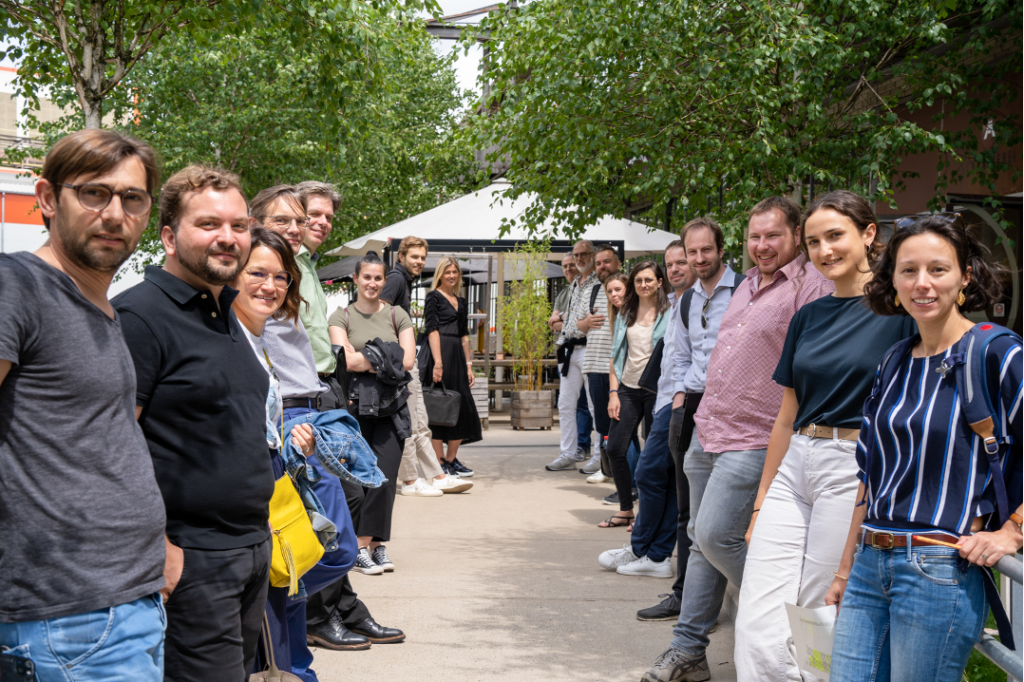
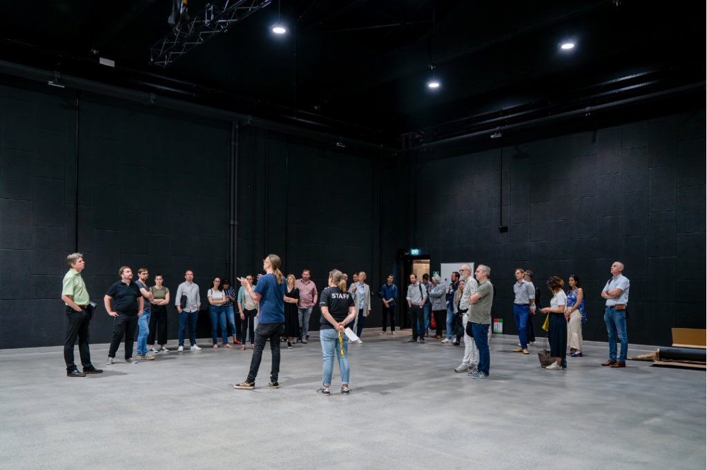
Field Trip to Brussels
In August 2023, a field trip to Brussels provided participants with first-hand insights into examples of the productive city concept in action. The trip included visits to a variety of architectural and urban projects, including mixed-use housing, historic sites, new constructions, and renovation/reconversion projects. Key sites visited included the former Veterinary School in Cureghem, City Dox, CityGate, Tour & Taxis, Tivoli GreenCity, and the Greenbizz SME Park, with guided tours from ARAU and La Fonderie Brussels.

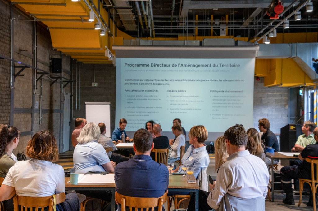
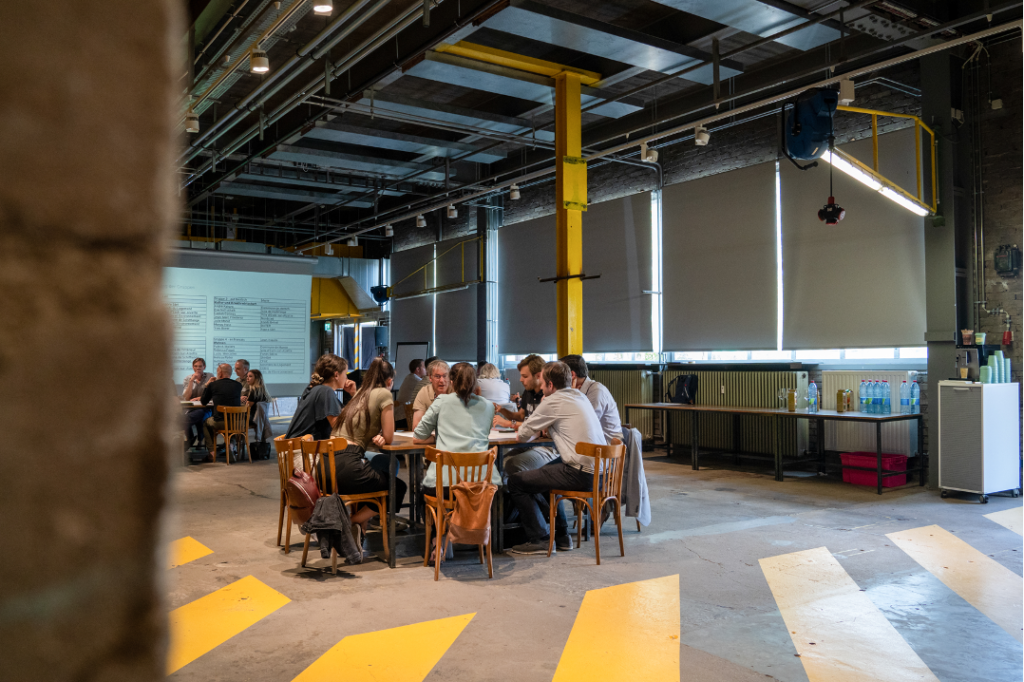
Final Conference
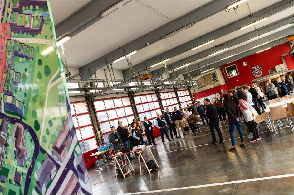
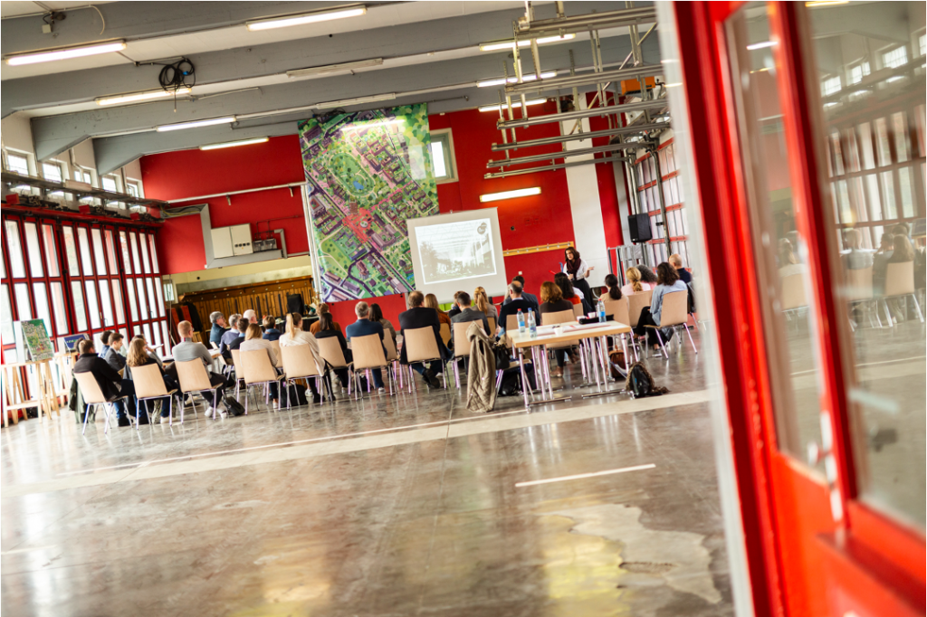
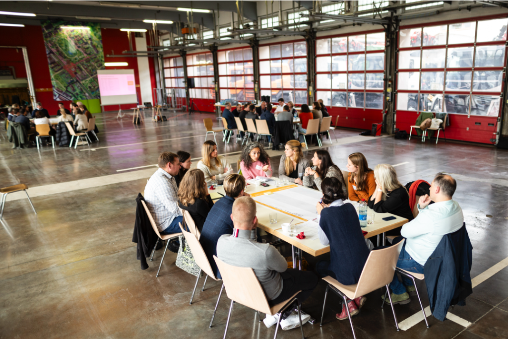
The year’s activities culminated in a final conference on 8th December 2023. This event aimed to summarise the key discussions, insights, and outcomes of the year’s activities. The conference provided a platform to present the conclusions of the workshops and field trip and to outline strategic directions for the future. The event commenced with welcome addresses by the Minister for Housing and Spatial Planning Claude Meisch and the Director General of the Chambre des Métiers Luxembourg Tom Wirion. It featured insightful presentations on the functional mix of craft and production in urban areas from various perspectives. Gérard Thein (PMEsch – Handwierkerhaff by Escher Betriber x 2001 x Ville d’Esch) and Alexandre Meyer (Intencity_fr) shared the business viewpoint, Prof. Dr. Stefan Gärtner (Institut Arbeit und Technik) and Daisy Wagner (Ville d’Esch) provided insights into urban development, and Yves Biwer (AGORA Luxembourg) highlighted project development perspectives. The event concluded with an interactive networking space where participants engaged with national experts on the challenges of the productive city.

These activities have brought together experts from various fields and have enriched by their contributions and exchanges: urban planners, architects, experts and representatives from Luxembourgish municipalities and ministries agencies, real estate and public housing developers, local businesses, Chamber of Crafts (Chambre des Métiers), the Fire and Rescue Service (Corps grand-ducal d’incendie et de secours (CGDIS), the Labour and Mines Inspectorate (Inspection du travail et des mines (ITM)).
Insights and Challenges – the CIPU statement on the productive city
The discussions and activities of 2023 provided critical insights into the topic of multifunctionality in the city, with a focus on production. The productive city is an innovative approach to address critical challenges such as climate change, resource scarcity, and social inequality. It aims to make cities more sustainable, resilient, and liveable by mixing production and residential areas. Integrating production in urban areas strengthens the local economy, creates jobs, promotes sustainability, and contributes to a vibrant and diverse urban landscape. The functional mix also reduces social inequalities and fosters a lively urban community.
The final CIPU statement draws conclusions for the following four levels of implementation:
- National/Regional Level: A national strategy is crucial, including defining types of crafts, creating a database of potential sites, and enhancing infrastructure for short distances. Collaboration between national and local stakeholders is essential for effective implementation.
- Municipal Level: Municipalities should promote compact and mixed urban structures through revised zoning laws and regional cooperation. Developing local strategies based on thorough analyses of existing and needed functions is key.
- Neighbourhood Level: Neighbourhoods should be designed with integrated uses from the outset, balancing residential, commercial, and green spaces. Planning should account for the needs and impacts of productive uses on local residents.
- Technical Level: Flexible building designs and multi-use spaces are necessary. Synergies between different users should be leveraged, and innovative economic models should support sustainable development.
Various challenges exist at each implementation level, such as regulatory barriers, infrastructure needs, and community acceptance. Overcoming these requires coordinated efforts, innovative planning, and the willingness to experiment with new concepts tailored to local contexts. Encouraging experimentation and continuous collaboration, supportive policies, and community engagement will drive the successful integration of production into urban areas, making cities more inclusive and sustainable.
You can read more about the activities, discussions and conclusions around the productive city and its potential for Luxembourg in the CIPU statement of 2023, linked below.
Contact
CIPU: cipu@zeyenbaumann.lu
References
CIPU publications 2023: https://cipu.lu/2024/03/15/publikationen-2023/
Blog post about the CIPU Workshop 1: https://cipu.lu/2023/08/30/cipu-workshop-exploring-multifunctionality-in-urban-spaces/
Blog post about the CIPU Workshop 2: https://cipu.lu/2023/12/13/cipu-workshop-no-2-exploring-multifunctionality-in-urban-spaces/